- Caption
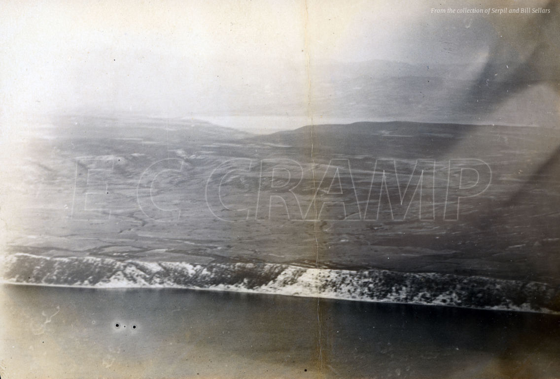
- Imbros. Gallipoli Peninsula – Dardanelles in background – from 7000 ft up.
- Catalogue number
- CR15
- Place
- Gallipoli
- Notes
Taken at an elevation of 7,000 feet, this photo give a view across the Gallipoli Peninsula in an area to the north of the Ottoman lines at Cape Helles.
In the mid-foreground are the cliffs of the Aegean shore, with the Dardanelles and the hills of Asia in the background.
In the centre of the photo is the plain marked on Allied maps as the Chanav Ova. The valley of Soğanlidere is in the upper middle of the image, its mouth opening out on to the Dardanelles.
The area of high ground to the right of the valley is the beginning of the series of rises culminating in Alcitepe or Alchi Baba that overlooks the Cape Helles sector, while to the left there is the southern edge of the Kilid Bahr plateau that dominates the Narrows of the Dardanelles.
Soğanlidere was one of the major supply routes for the Ottoman forces serving in the southern front, and was the main logistics base for the sector, which made it of interest to the Allied air services. Traces of camps, supply depots and hospitals can still be found in the valley.
- File
- Download Research only – request permission to reproduce
